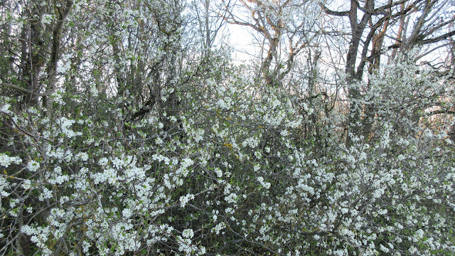
Les Chemins Tolosans et les Collines de l'Autan (284 m)
Météo : Grand ciel bleu, cirrus décoratifs, vent, froid
Localisation : Haute-Garonne
Dénivelé : ~ 150 mètres
Durée : 1 h 35 min
Carte IGN 1 : 25 000 : n° 2144 O
Panorama : Montagne Noire ; Lauragais ; agglomération toulousaine
Plus d'informations : www.sicoval.fr
Etapes :
Pompertuzat (192 m)
Eglise Saint-André Saint-Cloud (XVIème siècle) ⛪
Bellevue (284 m) (croix)
La Castèle
Chabrou
Rodoloze d'en haut
Eglise Saint-André Saint-Cloud (XVIème siècle) ⛪
Chapelle Saint-Roch
Pompertuzat (192 m)
Eglise Saint-André Saint-Cloud (XVIème siècle) ⛪


